

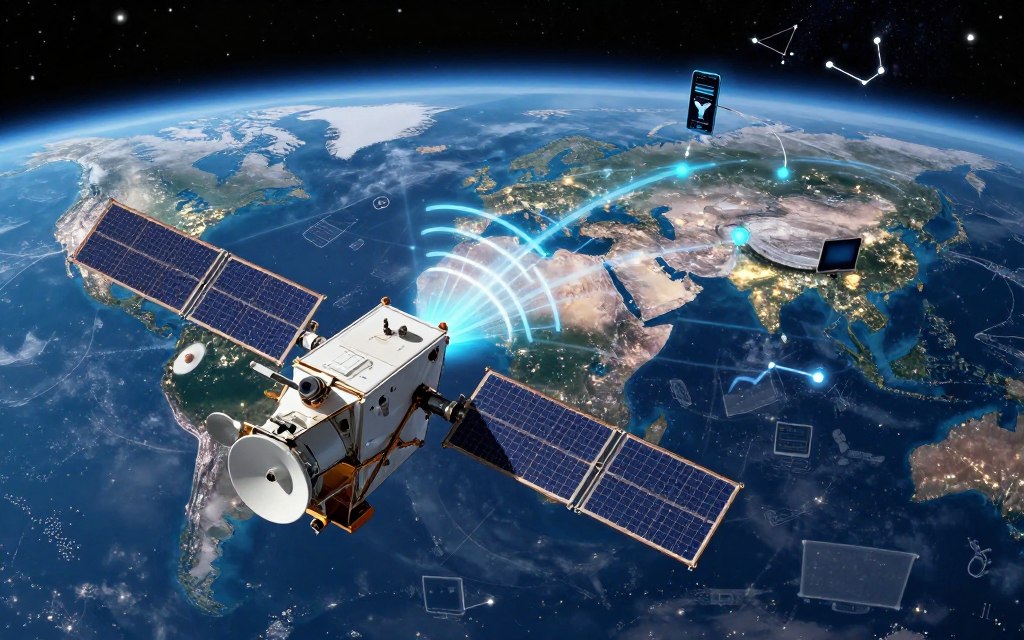
Understanding advanced systems matters in today’s fast-paced world. This is satellite technology at work: satellite communications guide navigation, weather forecasts, and daily tasks. These engineered spacecraft orbit Earth, collect, process, and transmit vital information, forming modern data infrastructure while connecting people and places.
Satellite technology explained: we explore launch methods and orbital categories. We also show how satellites work with ground stations, antennas, and data networks to provide seamless connectivity. This technology shapes GPS directions, television broadcasts, and severe weather alerts.
Join us to explore satellite systems and their real-world uses, including innovations shaping our connected future.
Key Takeaways
- Satellites are vital for global communication and data transmission.
- They operate in various orbits and work with ground-based systems.
- Applications include navigation, weather forecasting, and broadband access.
- Emerging innovations are enhancing connectivity and capabilities.
- Understanding satellite systems is essential for grasping modern technology.
1. What Is Satellite Technology and Why It Matters Today
At its core, satellite technology designs and operates spacecraft for global connectivity. It includes onboard systems, launch services, ground infrastructure, and communication networks. These parts work together on essential missions in orbit.
To understand satellite technology, distinguish natural satellites, such as the Moon, from artificial satellites made for human use. Artificial satellites observe Earth, relay signals, find locations, and support global data exchange.
Defining Satellite Technology in Simple Terms
A simple satellite technology definition describes the systems and processes that make artificial satellites work. These satellites support modern communication, weather forecasting, and navigation. They help people stay connected in cities and remote locations.
The Historical Evolution of Satellite Technology
Satellite history began with Sputnik 1’s launch in 1957, starting a new era in space exploration. Over the decades, communications satellites, Earth-observation programs, and navigation constellations developed. Commercial space companies later accelerated this evolution.
Why Satellite Technology Is Essential in the Modern Era
Even as terrestrial fiber, cellular networks, and cloud infrastructure expand, satellite systems remain vital. They cover vast areas, work beyond damaged ground infrastructure, and monitor remote regions. Satellites also provide steady timing and positioning data for many applications.
Modern satellite technology includes large government spacecraft and smaller, specialized platforms. This variety supports applications from telecommunications to scientific research, showing the many benefits of satellite technology.
Related Posts:





| Aspect | Details |
|---|---|
| Launch Year | 1957 (Sputnik 1) |
| Types of Satellites | Communications, Earth-observation, Navigation |
| Key Benefits | Global coverage, Remote monitoring, Reliable data |
| Modern Applications | Telecommunications, GPS, Weather monitoring |
2. The Core Components That Make Satellites Function
A satellite’s success depends on how its satellite components work together. These parts help explain how satellites operate in space. The main parts include the satellite bus, satellite payload, communication systems, and satellite power systems.
The Bus Subsystem: The Satellite’s Structural Foundation
The satellite bus forms the satellite’s backbone. It supports and protects the other components.
- Structural framework
- Thermal control systems
- Attitude determination and control systems
- Onboard computers
- Propulsion mechanisms
These elements work together to keep the satellite operational. They also help it withstand the harsh conditions of space.
The Payload: The Mission-Specific Equipment
The satellite payload is built for the satellite’s mission. It may include:
- Imaging sensors
- Radar instruments
- Scientific detectors
- Navigation clocks
- Communication transponders
Each payload collects or sends specific data. This makes it essential to the satellite’s goals.
Communication Systems and Antenna Arrays
Communication systems send data between the satellite and Earth. They include antennas, receivers, transmitters, amplifiers, and signal-processing equipment. Antenna design affects:
- Coverage area
- Bandwidth
- Signal strength
Reliable communication lets the satellite send information back to Earth.
Power Systems: Solar Panels and Batteries
Satellite power systems keep satellites working. Solar panels make electricity, while batteries store power for:
- Eclipse periods
- Peak demand
Engineers consider redundancy, shielding, thermal management, and fault tolerance to improve system reliability.
| Component | Function | Importance |
|---|---|---|
| Bus Subsystem | Structural support | Ensures operational stability |
| Payload | Mission-specific tasks | Achieves satellite objectives |
| Communication Systems | Data transmission | Maintains contact with Earth |
| Power Systems | Energy supply | Enables functionality |
3. How Satellites Are Launched and Positioned in Orbit
The satellite launch journey, from liftoff to orbit, shows remarkable engineering. It includes spacecraft integration, testing, orbital insertion, and final commissioning in space. This process helps explain how satellites support communication, navigation, and Earth observation.
Major Launch Vehicles Used Today
Several launch vehicles carry satellites into orbit. Notable examples include:
| Launch Vehicle | Operator | Payload Capacity (kg) |
|---|---|---|
| SpaceX Falcon 9 | SpaceX | 22,800 |
| United Launch Alliance Atlas V | ULA | 18,800 |
| Ariane 6 | European Space Agency | 25,000 |
| India PSLV | ISRO | 3,200 |
| India LVM3 | ISRO | 4,000 |
These launch vehicles provide the speed and accuracy needed for each satellite’s intended orbit. Each rocket offers special abilities for different mission needs.
The Process of Reaching the Correct Orbit
The process starts with spacecraft integration and testing. The rocket then launches, beginning the ascent. At a set altitude, it separates, and the satellite continues onward.
Missions to geostationary orbit often use a transfer orbit. Upper stages and onboard propulsion systems refine the spacecraft’s path. Gravity assists may improve its route to the final orbit.
Ground Stations and Mission Control Operations
After launch, satellite ground stations monitor the satellite’s health and performance. They send commands, receive telemetry, and update software when needed. Mission control centers coordinate these tasks so the satellite works as planned.
After launch, teams deploy solar panels, point antennas, and check systems. These tasks help activate the satellite and keep it operating in its assigned orbit.
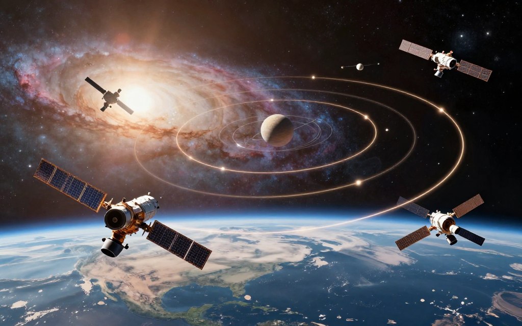
4. The Different Types of Satellite Orbits and Their Uses
Satellite orbits are designed for specific operational needs. An orbit strongly affects a satellite’s performance and use. Learning about satellite orbits shows how they support communication and navigation.
Low Earth Orbit (LEO) Satellites
Low Earth Orbit (LEO) satellites fly 180 to 2,000 kilometers above Earth. They offer low latency and detailed images for Earth observation and communication. Because they stay close to Earth, they need a constellation for continuous coverage.
Medium Earth Orbit (MEO) Satellites
Medium Earth Orbit (MEO) satellites usually fly 2,000 to 35,786 kilometers above Earth. This orbit often supports navigation satellites, such as GPS, because it balances coverage and signal timing. MEO satellites cover larger areas than LEO satellites while keeping response times reasonable.
Geostationary Orbit (GEO) Satellites
Geostationary Orbit (GEO) satellites sit about 35,786 kilometers above the equator. They match Earth’s rotation and stay over one longitude, providing steady coverage for one geographic area. However, launching into GEO is complex, and geostationary satellites have notable signal latency.
Highly Elliptical Orbits (HEO) and Their Applications
Highly Elliptical Orbits (HEO) follow stretched paths that keep satellites over high-latitude regions for long periods. They support communication and observation where geostationary coverage works less well. These satellites also support scientific research and environmental monitoring.
| Orbit Type | Altitude Range | Latency | Coverage | Typical Applications |
|---|---|---|---|---|
| Low Earth Orbit (LEO) | 180 – 2,000 km | Low | Limited, requires constellations | Earth observation, communication |
| Medium Earth Orbit (MEO) | 2,000 – 35,786 km | Moderate | Wider coverage | Navigation (GPS) |
| Geostationary Orbit (GEO) | 35,786 km | High | Broad | Telecommunications, broadcasting |
| Highly Elliptical Orbit (HEO) | Varies | Variable | High-latitude focus | Communications, scientific research |
5. How Satellite Communication Works Across the Globe
Satellite communication links remote areas with the wider world. It carries voice, video, and data across great distances. This technology supports many important parts of modern life.
Communication starts with an uplink, a signal sent from a ground station to a satellite. The satellite receives and processes the signal, then returns it through a downlink. Together, the uplink and downlink support television broadcasts and internet connections.
Uplink and Downlink Signal Transmission
During the uplink phase, ground-station antennas send signals to satellites. During downlink, satellites send those signals back to Earth. Antennas, modems, and amplifiers work together for efficient data transfer.
These tools support phone calls and streaming services.
Frequency Bands Used in Satellite Communications
Satellite frequency bands have different strengths and limits. This table shows several common bands:
| Frequency Band | Range (GHz) | Typical Use |
|---|---|---|
| L-band | 1-2 | Mobile communications |
| C-band | 4-8 | Television broadcasting |
| Ku-band | 12-18 | Satellite internet |
| Ka-band | 26.5-40 | High-speed data transmission |
The Role of Transponders in Data Relay
Transponders are key parts of satellites. A satellite transponder receives uplink signals, filters and amplifies them, then shifts their frequency. It retransmits the signal to Earth.
This process protects data quality and accuracy.
Modulation and coding help improve satellite communication. Frequency reuse and link budgets also help operators use networks well. Operators use adaptive coding and power control to improve service reliability, especially during bad weather.
6. The Major Applications Powering Modern Life
Satellite technology has changed how we communicate, navigate, and study Earth. These satellite applications connect busy cities and remote rural areas. They support public services, businesses, and daily life.
Telecommunications and Internet Connectivity
Satellites provide broadband services to remote places lacking traditional infrastructure. This satellite internet helps users reach essential services, including education and healthcare. These services can otherwise be hard to obtain.
GPS and Global Navigation Systems
Global Positioning System (GPS) satellites provide vital navigation. They use precise timing signals from multiple satellites to locate users accurately. This system supports transportation, logistics, drivers, pilots, and hikers.
Weather Forecasting and Climate Monitoring
Weather satellites monitor conditions in the atmosphere. They operate in both geostationary and polar orbits, tracking clouds, hurricanes, and temperature changes. Their data supports climate monitoring and long-term forecasts, helping communities prepare for severe weather.
Military and Defense Applications
Defense satellites strengthen secure communications and surveillance. Military satellites support operations with real-time reconnaissance and navigation data. This technology maintains situational awareness and helps protect national security.
Scientific Research and Earth Observation
Scientific and Earth observation satellites gather valuable environmental data. They monitor oceans, forests, and urban growth, revealing pollution and natural disasters. Emergency managers, farmers, and policymakers use this accurate information for decisions.
| Application | Description | Impact |
|---|---|---|
| Telecommunications | Satellite internet and phone services | Improves access in remote areas |
| GPS | Global navigation systems | Enhances travel and logistics |
| Weather Monitoring | Tracking atmospheric conditions | Supports disaster preparedness |
| Military | Secure communications and surveillance | Enhances national security |
| Earth Observation | Data collection on environmental changes | Informs policy and research |
7. How Satellite Technology Connects Remote and Urban Areas
Satellite technology connects remote and urban areas. It gives communities without traditional infrastructure a vital link. It helps bridge the digital divide so everyone can connect and thrive.
Bridging the Digital Divide in Rural Communities
Many rural areas lack reliable internet access. Satellite technology offers rural broadband, often more affordable and accessible than laying cables or building cell towers. Fixed satellite broadband and low Earth orbit networks bring high-speed internet to homes, schools, and businesses.
Community Wi-Fi hubs and satellite backhaul expand connectivity for clinics, farms, and even ships and aircraft.
Closing the digital divide requires more than a connection. It also requires availability, affordability, and digital skills for effective technology use. Satellite solutions empower rural communities to join the digital economy.
Supporting Disaster Response and Emergency Communications
In crises such as floods, hurricanes, or wildfires, terrestrial networks can fail. Satellite emergency communications are vital for coordinating disaster response efforts. Portable satellite terminals and mobile satellite services help first responders communicate, share critical mapping data, and connect isolated communities.
This capability helps deliver aid quickly and efficiently.
Satellite links help restore communications after disasters. They provide real-time updates and agency coordination, save lives, and support recovery through a reliable channel.
Enabling Internet of Things (IoT) Networks Worldwide
Satellite technology is also expanding the Internet of Things (IoT). Applications include asset tracking and smart agriculture, while satellite IoT networks provide wide-area coverage for low-power devices. They support environmental monitoring, logistics, and energy infrastructure management in remote locations.
Latency and device costs remain practical concerns, but satellite IoT offers major benefits. By integrating these networks, businesses can improve operations and efficiency, making them valuable in today’s interconnected world.
8. The Future of Satellite Technology and Emerging Innovations
The future of satellite technology will improve global communication and access to data. Rapid innovation is changing connectivity through satellite constellations, miniaturized satellites, and artificial intelligence.
Mega-Constellations and the Rise of LEO Networks
Mega-constellations are reshaping satellite technology with many satellites in Low Earth Orbit (LEO). They provide broad coverage and low latency for LEO satellite internet, especially in remote areas. They also improve network resilience, but need careful coordination, launch capacity, and spectrum management to prevent collisions.
Advances in Miniaturization and CubeSats
Miniaturization has changed satellite technology, especially through CubeSats. These small, standardized satellites help universities, startups, and research institutions enter the field. CubeSats support Earth imaging and atmospheric research, making experiments possible for groups once limited to larger organizations.
AI Integration and Autonomous Satellite Operations
Artificial intelligence now plays a key role in satellite operations. It supports onboard image analysis, anomaly detection, and predictive maintenance. AI also helps autonomous satellites plan maneuvers, improving efficiency, while human oversight protects validation and safety.
Sustainability and the Challenge of Space Debris
Sustainability matters as satellite deployments grow. Space debris threatens operational satellites and crewed spacecraft. End-of-life planning, controlled reentry, and better tracking can reduce this threat.
Responsible constellation design and debris mitigation strategies are vital for a sustainable orbital environment.
9. Conclusion
Satellite technology plays a vital role in our interconnected world, supporting broadband access, GPS navigation, and weather forecasting. It forms a complex ecosystem that includes spacecraft, launch vehicles, and ground stations. Low Earth Orbit (LEO), Medium Earth Orbit (MEO), and Geostationary Orbit (GEO) satellites serve unique functions and strengthen satellite connectivity.
The future of satellite technology looks promising, with innovations such as mega-constellations and CubeSats. These advances can expand coverage and improve connectivity for users worldwide. Yet space debris, cybersecurity, and spectrum coordination must be managed for sustainable growth in space technology.
The importance of satellites is clear: they support communication and provide data for disaster response and planet monitoring. Responsible innovation will shape how effectively satellites connect and empower modern society. By embracing new technologies and addressing challenges, we can harness satellite systems’ full potential for a better future.